 AUD
AUD
 USD
USD
 NZD
NZD
 GBP
GBP
 Euro
Euro
Sale


Scottish Victorian Ordnance Survey Map No. 95 Elgin & Keith
Caledonian Books
No reviews
Write a Review
MSRP:
$18.00
$18.00
$5.00
You save
$13.00
- SKU:
- MBM126
- Availability:
- Usually ships within 7 days

Media: MAP - 1 inch to 1 mile
Date: (1894/95)
Other: 18x24 inches, folded in plastic cover.
Publisher: Caledonian Books
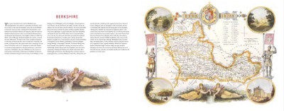
These are the first medium scale maps of the country, showing all the detail a one-inch scale map can carry. These reprints are taken from a set revised in 1894/1895 and published in 1896. Each sheet is 18 x 24 inches and covers 432 square miles.
This map includes
- Elgin & Keith
- Buckie
- Dallas
- Craigellachie
- Fochabers
- Kinloss
- Lossiemouth
- Rafford
- Rothes
Sample - portion of map - right click on the map and open in a new tab to see more detail

Sheet 95 in the Scottish Ordnance Survey reprint series

This product hasn't received any reviews yet. Be the first to review this product!
Related Products

Scottish Victorian Ordnance Survey Map No. 95 Elgin & Keith
MSRP:
$18.00
$18.00
$5.00
You save
$13.00
Related Products
Sale

Caledonian Books
Scottish Victorian Ordnance Survey Map No. 108 Altnaharra
MSRP:
$18.00
$18.00
$5.00


Scottish Monumental Inscriptions
Scottish Monumental Inscriptions Fifeshire: Inverkeithing Cemetery and Peter's Churchyard
$13.00

Sale
